Stratocumulus
What is Stratocumulus?
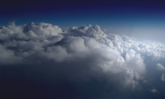
Stratocumulus is a layered, puffy hybrid of a cloud. The puffiness is a result of warm air rising above the base of the cloud and condensing at higher altitudes.
This clouds form wide, shallow layers and may blanket the entire sky or may have breaks through which blue patches are visible. It may appear as a series of distinct, yet touching, rounded masses. It ranges in color from white to dark gray, depending on it thickness.
The presence of stratocumulus is an indicator of high levels of moisture in the lower levels of troposphere. It is formed either when pockets of warm air rise to the dew point or when a warm air mass is pushed upward by an advancing front, the dive line between two air masses. Usually this kind of clouds do not produce precipitation. However, when these clouds become thick enough, they may bring light drizzle or snow.
